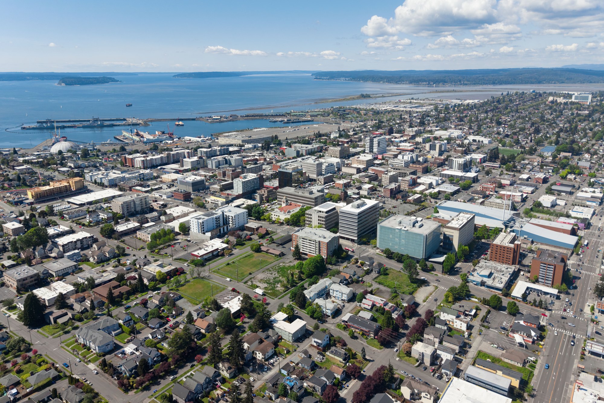
Everett, Washington

Outdoors

Camping near Everett

Campgrounds and camping areas near Everett on federal land, with which ones take reservations on Recreation.gov.

30campgrounds and camping areas
21 mito the closest
12within 30 miles
February–Novemberbest months

Good to know: Popular campgrounds book up months ahead on Recreation.gov; first-come sites fill early on weekends and holidays.

Closest picks

1

Tulalip Mill Site Group Campground

21 mi northeast · USDA Forest Service

Situated a short distance from the banks of the Stillaguamish River and in close proximity to several wilderness areas, Tulalip Group Campground offers visitors the opportunity to experience both the serene and wild aspects of the Cascade…

2

Turlo Campground

21 mi northeast · USDA Forest Service

Turlo Campground is located just off the Mountain Loop Highway in the Mt.Baker-Snoqualmie National Forest. The campground is nestled in tall firs, cedars and hemlocks, adjacent to the south fork of the Stillaguamish River.

3

Verlot Campground

21 mi northeast · USDA Forest Service

Verlot Campground is located just off the Mountain Loop Highway in the stunning Mt. Baker-Snoqualmie National Forest. Situated on the west side of the Cascades between the Canadian border and Mt.

Map of all 30 places

Map of 30 places loads as you scroll.

Within 30 miles (12)

21 mi northeast · USDA Forest Service · Campground

Tulalip Mill Site Group Campground

Situated a short distance from the banks of the Stillaguamish River and in close proximity to several wilderness areas, Tulalip Group Campground offers visitors the opportunity to experience both the serene and wild aspects of the Cascade…

  • Camping

21 mi northeast · USDA Forest Service · Campground

Turlo Campground

Turlo Campground is located just off the Mountain Loop Highway in the Mt.Baker-Snoqualmie National Forest. The campground is nestled in tall firs, cedars and hemlocks, adjacent to the south fork of the Stillaguamish River.

  • Camping

21 mi northeast · USDA Forest Service · Campground

Verlot Campground

Verlot Campground is located just off the Mountain Loop Highway in the stunning Mt. Baker-Snoqualmie National Forest. Situated on the west side of the Cascades between the Canadian border and Mt.

  • Camping

22 mi east · USDA Forest Service · Campground

Gold Basin Campground

Gold Basin Campground sits near the banks of the tranquil South Fork of the Stillaguamish River, close to several wilderness areas and hiking trails, offering visitors opportunities to experience both the serene and wild aspects of the…

  • Camping
  • Fishing
  • Hiking

23 mi east · USDA Forest Service · Campground

Wiley Creek Group Camp

Wiley Creek, a popular campground for youth groups and organizations, is situated in an old-growth Douglas fir forest with lovely shaded trails.

  • Camping

24 mi east · USDA Forest Service · Campground

Esswine Group Camp

Esswine Group Campground is located on the banks of the tranquil Stillaguamish River in The Mt. Baker-Snoqualmie National Forest.

  • Camping

25 mi east · USDA Forest Service · Campground

Boardman Group Camp

Boardman Group Campground is located about 8 miles east of the Verlot Public Service Center along scenic Mountain Loop Scenic Byway through Mt. Baker-Snoqualmie National Forest.

  • Camping

26 mi northwest · US Army Corps of Engineers · Campground

Fort Casey Campground

This recreation area is part of Keystone Harbor

  • Camping
  • Hiking

26 mi east · USDA Forest Service · Campground

Red Bridge Campground

Red Bridge Campground is located just off the Mountain Loop Highway along the pebble-strewn bank of the South Fork Stillaguamish River in the Mt. Baker-Snoqualmie National Forest.

  • Camping

27 mi northwest · US Army Corps of Engineers

Keystone Harbor

Operated as part of Fort Casey State Park. Fort Casey State Park (including Keystone Spit) is comprised of 411.46 acres with 7,000 feet of freshwate frontage and 110,810 feet of saltwater shoreline on Admiralty Inlet.

  • Boating
  • Camping
  • Hiking
  • History
  • Picnicking
  • Water sports
  • Wildlife viewing

29 mi northwest · National Park Service

Ebey's Landing National Historical Reserve

This stunning landscape on the Salish Sea, with its rich farmland and promising seaport, lured the earliest American pioneers north of the Columbia River to Ebey’s Landing.

  • Biking
  • Boating
  • Camping
  • Diving
  • Fishing
  • Hiking
  • Horseback riding
  • Paddling

30 mi east · USDA Forest Service · Campground

Coal Creek Group Camp

Coal Creek Group Campground sits along the scenic Mountain Loop Road in the Mt. Baker-Snoqualmie National Forest.

  • Camping

30 to 75 miles (12)

32 mi east · USDA Forest Service · Campground

Heybrook Lookout

The Heybrook Lookout sits atop its namesake ridge at 1,700 feet. The lookout itself rises 67 feet above the ridgeline and provides spectacular views of breathtaking glacial peaks surrounding the valley.

  • Camping
  • Climbing
  • Fishing
  • Hiking
  • Kayaking
  • Rafting
  • Water sports
  • Wildlife viewing

34 mi northeast · USDA Forest Service · Campground

Clear Creek Campground

Clear Creek Campground is located just off the Mountain Loop Highway in the stunning Mt. Baker-Snoqualmie National Forest.

  • Biking
  • Boating
  • Camping
  • Fishing
  • Hiking
  • Hunting
  • Swimming
  • Water sports

36 mi west · USDA Forest Service · Campground

Falls View Campground

Forest of conifers and rhododendrons located high above the Big Quilcene River. Nearby Hood Canal and Quilcene Bay are known for their oysters and clam beds with swimming, boating and waterskiing also available.

  • Camping
  • Picnicking
  • Recreational Vehicles

37 mi east · USDA Forest Service · Campground

Troublesome Creek Campground

This campground is located approximately 20 miles east of Index, Washington in the Mt. Baker-Snoqualmie National Forest.

  • Camping
  • Fishing
  • Hiking
  • Wildlife viewing

38 mi east · USDA Forest Service · Campground

Bedal Campground

Bedal Campground is located just off the Mountain Loop Highway in the stunning Mt. Baker-Snoqualmie National Forest.

  • Camping
  • Fishing
  • Hiking

40 mi southeast · USDA Forest Service · Campground

Money Creek Campground

Situated on the banks of the South Fork Skykomish River in Mt. Baker-Snoqualmie National Forest, Money Creek campground offers some of the most stunning scenery in the northern Cascade Range in Washington.

  • Biking
  • Camping
  • Fishing
  • Hiking

50 mi east · USDA Forest Service

Mt. Baker-Snoqualmie National Forest

  • Biking
  • Boating
  • Camping
  • Fire Lookouts/Cabins Overnight
  • Hiking
  • Horse Camping
  • Horseback riding
  • Off-highway vehicles

53 mi northwest · Fish and Wildlife Service

San Juan Islands National Wildlife Refuge

In October of 1976 the San Juan Wilderness was established, which added the purposes of the Wilderness Act (Sept. 3, 1964) including “ . . .

  • Birding
  • Camping
  • Fishing
  • Hiking
  • Photography
  • Wildlife viewing

68 mi southeast · Bureau of Reclamation

Easton Diversion Dam

Easton Diversion Dam , Yakima Project , is located on the Yakima River near the town of Easton, Washington the area has 112 acres of land, 240 water surface acres and 1 mile of shoreline.

  • Boating
  • Camping
  • Fishing
  • Hiking
  • Picnicking
  • Recreational Vehicles
  • Water sports

69 mi northeast · National Park Service

North Cascades National Park

Less than three hours from Seattle, an alpine landscape beckons. Discover communities of life adapted to moisture in the west and recurring fire in the east. Explore jagged peaks crowned by more than 300 glaciers.

  • Biking
  • Boating
  • Camping
  • Climbing
  • Fishing
  • Hiking
  • Horse Camping
  • Horseback riding

69 mi west · National Park Service

Olympic National Park

With its incredible range of precipitation and elevation, diversity is the hallmark of Olympic National Park.

  • Boating
  • Camping
  • Climbing
  • Fishing
  • Hiking
  • Horse Camping
  • Paddling
  • Picnicking

72 mi southeast · Bureau of Reclamation

Cle Elum Lake

Cle Elum Dam and Lake, of the Yakima Project , are on the Cle Elum River 8 miles northwest of Cle Elum, Washington. Cle Elum, Kachess, and Keechelus reservoirs are in the Wenatchee National Forest.

  • Boating
  • Camping
  • Fishing
  • Hunting
  • Picnicking
  • Recreational Vehicles
  • Water sports

75 miles and farther (6)

77 mi southwest · USDA Forest Service

Olympic National Forest

Originally created as the Olympic Forest Reserve in 1897, the Olympic National Forest encompasses roughly 632,000 acres of varied landscape on the Olympic Peninsula in Washington state.

  • Biking
  • Camping
  • Dispersed Camping
  • Fire Lookouts/Cabins Overnight
  • Fishing
  • Hiking
  • Hiking Trail
  • Horse Camping

77 mi southwest · USDA Forest Service

Olympic National Forest

  • Biking
  • Camping
  • Diving
  • Fire Lookouts/Cabins Overnight
  • Fishing
  • Hiking
  • Horse Camping
  • Horseback riding

79 mi south · National Park Service

Mount Rainier National Park

Ascending to 14,410 feet above sea level, Mount Rainier stands as an icon in the Washington landscape. An active volcano, Mount Rainier is the most glaciated peak in the contiguous U.S.A., spawning five major rivers.

  • Biking
  • Camping
  • Climbing
  • Fishing
  • Hiking
  • History
  • Wildlife viewing

80 mi south · Bureau of Reclamation

Clear Lake Reservoir

Located on the North Fork of the Tieton River, 34 miles southwest of Naches, WA, Clear Lake Reservoir is created by Clear Creek Dam . The surface area of the reservoir is 260 acres.

  • Biking
  • Boating
  • Camping
  • Fishing
  • Hunting
  • Picnicking
  • Water sports

87 mi east · USDA Forest Service

Okanogan-Wenatchee National Forest

  • Biking
  • Boating
  • Camping
  • Climbing
  • Fire Lookouts/Cabins Overnight
  • Fishing
  • Hiking
  • Horse Camping

104 mi southeast · Bureau of Reclamation

Rimrock Lake

Rimrock Lake which is part of the Yakima Project was formed by the construction of Tieton Dam on the Tieton River. Bumping, Rimrock, and Clear Lakes are in Wenatchee National Forest.

  • Boating
  • Camping
  • Fishing
  • Hunting
  • Picnicking
  • Recreational Vehicles
  • Water sports

Distances are straight-line miles from the center of Everett. Listings come from Recreation.gov’s federal recreation database; check each official page for hours, fees, fire restrictions and closures before you go.

Get outside around Everett

The City Of EVERETT, Washington | Stunning 4K Driving Tour 🇺🇸 video thumbnail

A DRIVE AROUND TOWN

The City Of EVERETT, Washington | Stunning 4K Driving Tour 🇺🇸

A drive through Everett’s city streets. Recorded scenery, not a live traffic camera.

Watch on YouTube ↗

More outdoors near Everett

Questions

Where is the closest place for camping near Everett?

Tulalip Mill Site Group Campground (USDA Forest Service), about 21 miles northeast of Everett as the crow flies. Next are Turlo Campground (21 mi) and Verlot Campground (21 mi).

When is the best time for camping near Everett?

Based on Everett’s average highs, February–November. Conditions at higher elevations can be much cooler.

Can I reserve a campsite near Everett?

15 of the 30 places listed here take reservations on Recreation.gov; others are first come, first served.

Who manages these places?

Federal agencies including USDA Forest Service, National Park Service, Bureau of Reclamation. Each listing links to its official page for hours, fees, closures and current conditions.

Everett AI

Your Everett local guide
Hey there!

I'm Everett AI. Ask about neighborhood food, independent shops, local history or planning a visit.

AI recommendations may be inaccurate. Verify hours and prices. Questions are processed by Cloudflare. Privacy