PAE
Seattle Paine Field International Airport
Everett, WA · regional airport
6 mi southwest · 8 miles, about 13 min by road
Directions ↗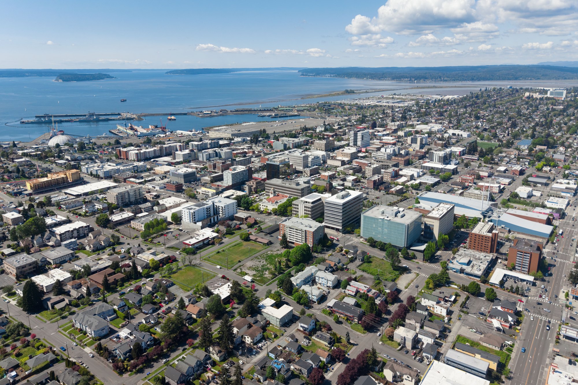
City facts
Snohomish County, Washington · 25 miles north of Seattle
Everett is in Snohomish County, Washington, about 25 miles north of Seattle. The center of Everett sits at 47.9612° N, 122.1889° W, 7 feet above sea level, on Pacific Time (PT).
Updated November 2026
Map of 7 places loads as you scroll.
Road distance and typical driving time from the center of Everett, without live traffic.
| City | By road | Drive time |
|---|---|---|
| Seattle, WAsouth · pop. 780,995 | 28 mi25 mi straight line | 40 min |
| Portland, ORsouth · pop. 635,749 | 201 mi171 mi straight line | 4 hr |
Airports with scheduled passenger flights, shortest drive first. The Everett airport guide has drive times, transit and a comparison.
Everett, WA · regional airport
6 mi southwest · 8 miles, about 13 min by road
Directions ↗Seattle, WA · major airport
36 mi south · 42 miles, about 56 min by road
Directions ↗Bellingham, WA · regional airport
60 mi north · 67 miles, about 1 hr 22 min by road
Directions ↗Local City Network guides for nearby cities.
Everett is in Snohomish County, Washington, about 25 miles north of Seattle. The center of Everett sits at 47.9612° N, 122.1889° W, 7 feet above sea level, on Pacific Time (PT).
Everett is 28 miles from Seattle, Washington by road, about 40 min of driving without traffic (25 miles in a straight line).
Everett is 201 miles from Portland, Oregon by road, about 4 hr of driving without traffic (171 miles in a straight line).
Seattle Paine Field International Airport (PAE) in Everett is the closest airport with scheduled flights by road: 8 miles, about 13 min to the passenger terminal, 6 miles southwest in a straight line from the center of Everett. The nearest major airport is Seattle–Tacoma International Airport (SEA), 42 miles, about 56 min. The airport guide compares them all.
About 7 feet (2 meters) above sea level at Everett's center point, per the USGS 3D Elevation Program. Elevations vary across the city.
On average Everett gets 3 inches of snow a year (NOAA 1991-2020 normals); see the full snow guide for months and records.
Sources: county from the Census Bureau geocoder; elevation from the USGS 3D Elevation Program; airports from OurAirports (the same list as the airport guide); city populations from the Census Bureau's Vintage 2024 estimates; road distances and drive times from OSRM on OpenStreetMap data (© OpenStreetMap contributors). Checked November 2026. Drive times are typical and exclude traffic.